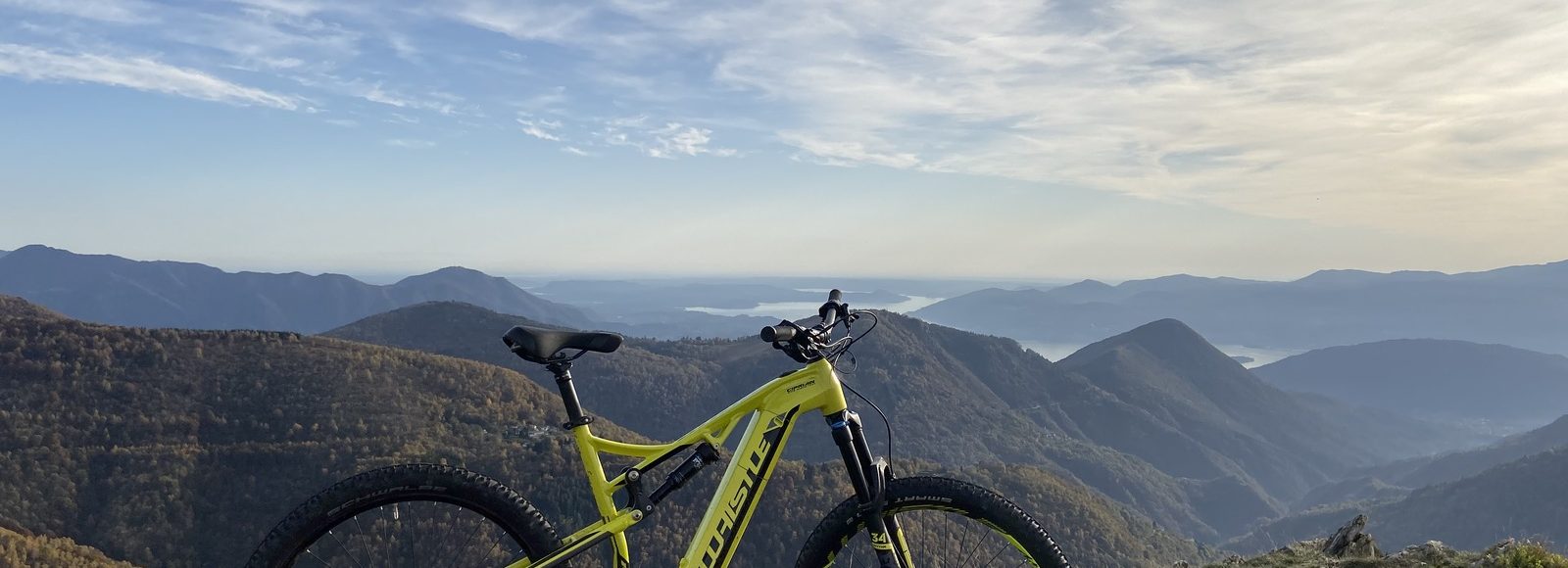
Start from Piancavallo Auxologico Center’s parking and continue uphill on the right to reach Colle. Here begins the military road “Cadorna Line”. Proceed to Pian d’Arla and then to Pian Puzzo, continue on the south side of Mount Bavarione until Folungo Pass. From here you can continue, taking a challenging uphill trail, towards Pian Vadà hut, part of ValGrande National Park and from which you can enjoy a wonderful view of the valley. Then return to Folungo Pass (with the same path) and take the trail on the north side of Mount Bavarione, continue to Archia and Colle. Here you can decide to reach Morissolo Mount and Cadorna Line’s galleries, with an incredible trail that overlooks lake Maggiore. Then return to Piancavallo. Curiosity: Cadorna Line fortifications, wanted by General L. Cadorna, were built during First World War against a possible German attack through Switzerland. The defensive line begins at Simplon Pass (Switzerland) and ends in Orobie Alps in Lombardy. HERE is the map!HERE is the 3D map of the trail!HERE is the video of the trail! | technical specificationsDifficulty: mediumLength: 27,25 KMElevation gain: 478 metriEquipment: MTB E-MTB |


